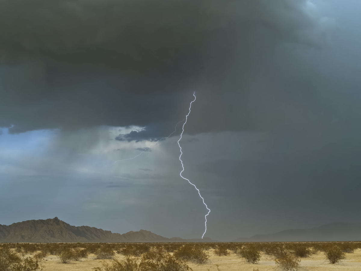
HARRISONBURG VA: (Rocktown Now) – A cold front will increase the chance for showers and thunderstorms today. The best chance for storms will be from midafternoon until around midnight tonight. These storms could produce gusty winds and some heavy downpours. Friday we’ll have a break from the storms before more showers and thunderstorms develop this weekend.
Here’s the WSVA local AccuWeather forecast for Harrisonburg and the Shenandoah Valley
.
Tonight: cloudy with a thunderstorms possible, then fog late and humid. Low 66. Winds north
northwest 3-6 mph.
Tomorrow: times of clouds and sun with a thunderstorm in parts of the area; humid. High 76.
Winds east-northeast 4-8 mph.
Saturday: mostly cloudy and humid with a thunderstorm in parts of the area. High 76. Winds
south-southeast 4-8 mph.
Sunday: times of clouds and sun with a thunderstorm in spots; humid. High 83. Winds west
northwest 3-6 mph.
Monday: cloudy and less humid. High 82. Winds northeast 4-8 mph
Sunset today will be at 7:31 p.m.
Sunrise Friday will be at 6:53 a.m.
Moonrise today 6:13 a.m.
Moonset today 7:14 p.m.
Historical weather data for this date at the Dale Enterprise Weather Station
High: 100 in 1900
Low: 35 in 1956
Precipitation: 3.80 in 1950